About Strategic Geospatial
Hey team,
Lines on a map can connect or divide, but all lines have weight.
At Sparkgeo, strategic geospatial is all we have ever done: cultivate ideas, present them to interested parties, and build technology. In this newsletter, we talk about strategy, especially for geospatial technology.
A MANIFESTO FOR STRATEGIC GEOSPATIAL
We are not mapmakers of convenience, but architects of the spatial future.
How we see the world determines how we shape it.
Every decision drawn on a map is an opportunity to sculpt an alternative or adjacent reality.
We must endeavour to see what is hidden, break what is false, and build to endure.
AI is not an oracle, but a lens to sharpen our awareness - a human augmentation, not a replacement.
Maps needn’t be charts of what are, but invitations to what could be.
We can guide communities to see, shape, and inhabit their worlds more wisely and with purpose by fusing spatial truth, and technological clarity.
This discussion will follow these guidelines:
USING REAL WORDS.
I will try to avoid acronyms at all costs. This might mean I use different words from what you are used to for describing concepts. Occasionally, I will refer to something as the acronym if it is commonly used this will ensure you, the reader, know what I am talking about.
PRAISING GIANTS.
Any tools I describe are likely derived from less specific tools. I stand on the shoulders of numerous strategic, business, and philosophical giants. Wherever possible, I have provided references for proper attribution or further study. If I miss one, ping me and I will update appropriately.
TOOLS ARE JUST TOOLS.
These tools are just ways of carving up your business landscape. I made the common mistake of dismissing many of these tools as irrelevant because they weren’t very quantitative. However, that is actually their power. These tools help you tell a story about your business. Once you understand a pathway, you can jump into some deeper analysis, but these tools just help you think through the complexity of a modern technology environment.
BITE-SIZED TOOLS.
I will be presenting these tools in bite-sized chunks. I want to stimulate discussion, not write a definitive work. I will try to add nuance where I think it makes sense. But you are not signing up for a book, but instead an email. I want this to be an opportunity to challenge yourself into thinking strategically every week or so. Hopefully, this will be a chance to step out of the everyday tactics of work into something a bit broader.
ETHICS.
AI is a lens, and geospatial is a perspective, but in the end ethics are our guide. A subject too often brushed over in geospatial and AI, we will touch on the growing body of knowledge around geospatial ethics and responsible AI, occasionally. That said, I will always tell my truth, based on my understanding at the time of writing. I have been wrong, but I try not to be factually wrong. If you spot something, please say, we are all better for it.
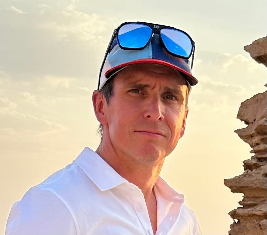
WHY ME?
I bring two decades of geospatial industry experience. One of those decades has been as a freelancer, evolving into an entrepreneur. I’ve seen a lot of geospatial, either first or secondhand. If possible, I will throw in some colour from across my geospatial network.
Learner. Being curious, I am constantly learning. With a formal education in electronic engineering and remote sensing. I augmented my technical education with a diploma from Oxford in Strategy and Innovation.
Leader. I founded Sparkgeo in 2010 to put maps on the internet. Since then, I have hand-picked my team, and we have been working with some of the biggest brands in technology and pivotal geospatial institutions. Our team is excited to work with numerous markets and verticals, giving us an uncanny knowledge of the broad use of geospatial technology today. Sparkgeo operates from 2 continents and serves a global technology market. Creating technology to:
Bring the power of geography into the hands of non-expert users
To raise the expectations of computing for modern enterprises
Unlock the value of the flood of pixels captured from low earth orbit
Advisor & Fellow. I am happy to help, but limited by time! I advise Cultivation Capital’s Geospatial venture fund and try to help as many startups as possible with industry and market knowledge. More broadly, I support enterprise companies and financial institutions on the uses and value of geospatial technology, especially within the context of climate and space. I have acted as a Teaching Fellow for Oxford MBA’s Smart Space Elective, discussing the unsettled nature of the geospatial analytics market, and I support the Taylor Geospatial Engine as an Industry Fellow.
More scalably, I share my industry knowledge and observations here!
Speaker. A regular speaker on the international geospatial circuit, I have also been lucky enough to talk about geospatial technology at bigger global events like COP 27.
North 51. I am a co-host of North America’s only geospatial thought leadership event. North51 is the only event for cutting-edge geospatial ideas, colliding innovation, strategy, and geography. Attracting senior industry leaders and learners, N51 has built a reputation for curated and relevant industry conversations - the right geospatial conversations at the right time.
Check out my LinkedIn to get an idea of what I’ve been up to. Also, you can read about Sparkgeo.
Stay up-to-date
You won’t have to worry about missing anything. Every new edition of the newsletter goes directly to your inbox.
Join the discussion
If exploring the unsettled geospatial market as it evolves sounds interesting, then subscribe. We’d love to hear your thoughts too.


