

Moat has become a magic word. I’m saying it most days. Everyone’s looking for theirs, and Jack thinks it's gone.

Moats
Other than sovereignty, moat has got to be the most popular word in the current technology lexicon. But I do think that moats are disappearing fast. GIS and geospatial will not be immune. We are seeing people on LinkedIn suggesting they might rewrite the traditional GIS toolkits over a weekend, and then follow through. I know a number of people who have built their own GIS tools. In no uncertain terms, we are in an age of personal software. But it’s not all doom and gloom.
So, how should geospatial people think about a “no moat” strategy?

Warren Buffett first coined the phrase. He was describing the features of a business that he looks for when investing. Others might call these unfair advantages: features that give a business a competitive edge. He talked about network effects, intangible assets, cost advantages, switching costs, and operational scale. Jack (above) is primarily referring to software when he asserts there is no moat. But the point is well taken; for many knowledge businesses, and geospatial is one, the ability to build personal software has become deeply disruptive. I wonder, though, if this movement is worse for those building the more cloud-oriented, younger generation of tools than for the incumbents. This speaks to one single business advantage that Esri might now have: distribution.
But I get ahead of myself. First, I want to outline a couple of key features of our new world order.
UI for you and I
The UI for search and discovery has changed. You could argue that the UI for software development is evolving, too, though I might get yelled at for saying so. Where once we clicked buttons with mice and trackpads, then tapped touch screens, now we type. I expect we can thank Google for the simplicity of the single text box. But its sudden evolution to ubiquity is jarring. Yet there is no doubt that text is a very flexible interface. Some might say infinitely flexible (as always, insert joke about Shakespearean monkeys). I do wonder if the future will evolve further toward being speech-driven, but in reality, the differences between text and speech lie only in how the words are encoded. So, we must accept that Graphical User Interfaces are likely to be the domain of deep technical experts doing very specific work.
Ad-Hoc-ishness
I’ve recently spoken a lot about non-determinism. It bugs me that Large Language Models (LLMs) treat space and time as malleable concepts. This is because these tools treat all data as text first, and guessing the next most likely character, word, or phrase is not necessarily a useful cartographic process. That said, we all agree with Tobler and the concept of spatial autocorrelation, so we are not a million miles off. But places at a particular time are just that: places. So the non-determinism of LLMs is often jarring to those of us who feel that data can and should “be accurate”.
The advantage of non-determinism is that we can create new and novel things and processes. They may not be right, but that can be interesting, and they can be specifically designed for a user's purpose. Again, personal software.
Build components: New users, old problems
I believe this evolution provides a new opportunity alongside a very old problem. Firstly, everyone can now ask for a map. I was in Dubai this weekend, and I asked Claude for a walking tour of Old Dubai, and it did a great job. Well, I needed to use other navigational tools on the ground, but it took me from zero knowledge to a good start within seconds. The response included a map. The map gave me enough context, but lacked some critical navigational features. I have many criticisms of AI, and specifically AI in geospatial, but for generic, non-specific activities like this, AI is amazing.
Note that I would not have asked a GIS professional to do this. So, in effect, this is a new use case. I expect I am not the only person doing this. Text prompts have significantly reduced the technical barriers to using geospatial or location technology. This might have been done in Google Maps before, but it would have been a real pain to achieve. So the technology that answers a human question and provides an adequate map as part of the solution is hugely valuable. I also note that this is somewhat new. Many of you will push back and say we’ve had maps and text for decades; that's true, but this wasn’t a map; it was an ad hoc interface that met a need. The map was just a logical part of the interface.
This points to three key ideas:
We need to consider a number of user types: Analysts, Professionals, Consumers, perhaps more? Great news: more people with access to geospatial technology!
Interfaces are no longer fixed. Fearsome, ad hoc interfaces introduce so much complexity.
Expectations and accuracy. Same old: expectation management has always been a problem when geospatial interfaces with less technical experts.
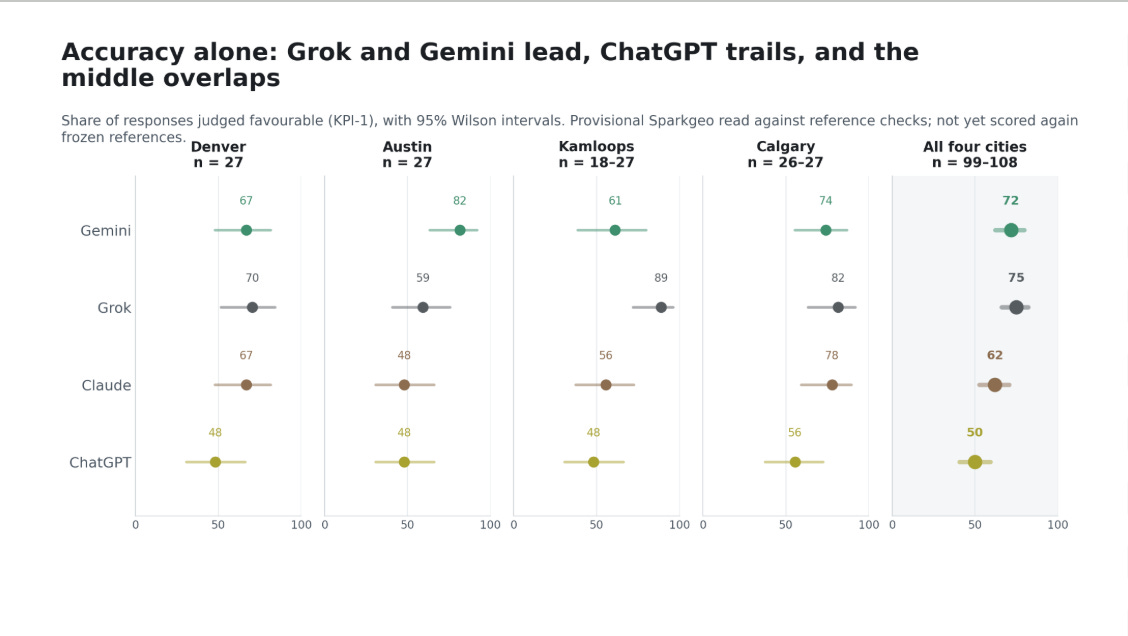
One of my personal missions has been to get “good geography” into the hands of more people, so, on one level, I am very excited about what LLMs offer. The fact that interfaces will be delivered to users based on their needs makes me think more about using components that AI can assemble into ad hoc interfaces. If we think about this, we will quickly realize that this pattern exists in both the consumer and professional spaces: componentization will result in adoption. Finally, expectations become harder. My team’s work on location accuracy within LLM environments implies that many will be misled over the next few years as data quality issues get shaken out.
Be closer to data: Make data make sense
Investing in data is like buying a house. I’m like a broken record. But that one statement rings true again. AI cannot create data. Instead, it’s an avid user of data. So, to make yourself useful to AI, create data and make it accessible. Certainly, with our Prescient product, this is what Sparkgeo is doing, so we are putting our money where my mouth is. But I feel this is logical too. Interestingly, the data accessibility aspect of this assertion is not well executed at present. To adequately integrate with AI technology, it's clear that commonly understood, ideally open, standards will be critical.
Cloud-native technology is a logical choice for distribution. The idea that data can be assembled from spatio-temporal asset catalogues (or whatever the next iteration will be), or even catalogues of catalogues, enables the creation of deep, discoverable data catalogues. Adding compute alongside data storage supports both sovereignty and the speed of insight delivery.
Provenance will also become more important. Once the domain of the nerdiest of geospatial people, metadata is now of paramount importance. I know, you will now tell me metadata was “always important”. Sure.
Well, now it's even more important; more people will be asking geo questions, so understanding how to answer them and a sense of the provenance of the data we use to do so is critical. Within a non-deterministic world, understanding why certain recommendations are being made is critical. That's data provenance.
In Moat-ion
This post is quite long enough, but “the moats of geospatial” could be an entire book. Instead, this is just a short discussion, with a couple of takeaways:
The UI of the internet has changed, so the UI of geospatial will have changed.
Forget UIs, build components and let AI be your UI.
Data and access to data are a moat. The data that’s easiest to access will be used.
But my message is simpler. Think deeply about what you do, and why you do it. I also think expertise and networks are moats. But be brutal in your expectations of AI. Don’t let your (or my) “spatial is special” attitude cloud your judgment. At the same time, don’t give up hope. There is still plenty of work to do!
Going back to an earlier assertion: distribution is also a moat. I don’t think Esri is going away any time soon. Large enterprise organizations are not going to vibe code their own geospatial capabilities anytime soon. Even though Starbucks committed to rewriting their own operating system, which I actually applaud, I am not convinced they will drop everything, and I am not convinced others will either. That said, given a noticeable trend, they might over time. Especially if geodata is not made available to other systems or AIs. My observation is that for large GIS providers, staying close to their customers and staying relevant will be critical. Ultimately, avoid competing with AI at all costs. They have more money and, today (October 25th, 2026), are primarily focused on building models to write software that builds better models. Not geography.
I have no doubt I will be writing more on this subject!
Eye opener