
Geography and the Future of Sovereign AI in Canada
The transcript of a talk presented at GeoIgnite, 2026 in Ottawa. This is a longer read, settle in.

I’ve been writing about Geospatial innovation, GeoAI (if you like), and Sovereignty for some time. I jot my evolving thoughts down at strategicgeospatial.com. While I talk about innovation and new technology, I tend to think the oldest ideas are often the most tested. And geography, the power of place, is really one of the oldest. Less of an idea, more of a metaphysical state. For instance, I won the geo-political lottery by being born in Scotland and moving to Canada. That lottery is defined by geography, history, and chance wrapped up with genetics and philosophy, religious and otherwise. So geography is written into our very DNA.

So, when I talk about geography being a deep horizontal, I’m not just talking about markets, technology, maps, and licensing. I’m talking about how humans have talked about place since we started communicating. I’m talking about resource discovery, allocation, and distribution. I’m talking about indigenous stories of where the wind comes from or where people would find woolly mammoths. As we talk about AI, it’s worth remembering that the human concept of geography is as old as, if not older than, humans. Indeed, things have always been somewhere; geography as a representation of place is deeply universal.

But I also do mean markets, because humans created markets, so markets are geographic. Indeed, the notions of geography and time join everything together. Additionally, as far as my experience stretches, time only goes one way. So we are where we are, and we can’t change past events (within my understanding of our reality, that is).
And today, here we are, in Canada.
Sovereignty and AI
Which brings me, conveniently, to Sovereignty. And ultimately, what I want to talk about today.
Geography and our sense of ourselves are wrapped up in the notion of Sovereignty. Of course, this is obvious. We are defined by lines on maps. Lines that both connect and divide:

Lines of logistic connection.
Lines of bordering partition.
Lines of shared elevation whose collective densities can suggest anything from a gentle meadow to a jutting crag.
Those lines define our geographic understanding of Nationhood. An illustration of history, culture and values. So when we talk about Sovereignty and SoveriegnAI. We are talking about geography, we always have been.


The infrastructure of AI is really defined by two components: connectivity and data centres. To date, the question of Sovereign AI has all been about infrastructure. By showing you these maps, it’s obvious that Infrastructure is at once critical, fragmented, and geographic.
Northern Strategy

But we should reorient our thinking around the concept of AI for Canada. While AI needs infrastructure, so too do our brains have synapses that form neural connections. Our actual characters are each defined by the content of those synaptic connections. The memories, experiences, and observations that can be linked, in practical and abstract ways, to form opinions. Then, ultimately, our characters. So when I think of Sovereign AI, I think of the memories, experiences, and observations of a Nation. Those vectors of history which have created our presence.
So, again, here we are, in Canada.
I live in Prince George. Nestled in the forests of Central Interior British Columbia. PG is a small city of 70,000 or so, about midway up the province. Often described as “the North”, better described as the gateway to the North, PG is a resource town, defined by logistics. First rivers, then highways and now railways and the longest airstrip in the region. If you include PG, there are 200,000 people in the northern half of BC. That’s an area the size of Germany which houses over double Canada’s entire population (84m vs 41m). So, when I say it’s quiet up here, I mean it. Also, the Idea of Northern BC being in some way “North” is definitely a misnomer. As a Scotsman by birth, PG is the furthest south I’ve ever lived. It’s about the latitude of Manchester in Northern England. Urban North America is clocked surprisingly far south. North of Prince George is half a province and an entire territory. This is all to say that Canada is large, and what we might think of as Northern Canada, a psychological line that varies in location depending on which individuals’ synaptic connections have mapped it, is largely empty of people.
But not Empty.
In fact, I would argue that the source of Canada’s future lies, concealed, in the North. While Russian defenders used space to defend against Napoleon’s Imperial impetuosity, they were beaten back by Russia’s geography as much as by the Russians themselves. It is the landscape that defines the opportunity of Canada’s Future. Indigenous communities have known this forever, and it is partly that knowledge which provides our competitive advantage. People must have been in Canada’s landscapes for thousands of years. Stories of changing landscapes have permeated the lives of generations of Canadians, indigenous or otherwise. These stories are critical and complement our landscapes with a rich oral history. They must be protected at all costs, yet shared carefully.

That concept is a pivotal theme: protect at all costs; share carefully. I get ahead of myself, though.

Canada’s North is the key to Canada’s future. While most of our population cowers from polar vortices, a mere 150 km from the border of our Southern neighbour. Those willing to don a coat have a conucopia of riches to explore. From the most important of economic drivers: critical minerals. To the most dramatic of landscapes, waiting to enthrall adventurers from across the planet.
But the lack of people in our North limits our ability to manage this wealth. If we apply broken windows theory, we would see that a lack of observational security leads to abuse.
Strategically, our North is also critical to the future global supply chain. The various maritime choke points are each choking…
on traffic in the Red Sea and the Strait of Malacca,
on climate change with a shallowing Panama Canal,
on Grand Strategy and geopolitical gerrymandering in the Strait of Hormuz and around Taiwan.

The Northwest Passage, as we call it, is becoming ice-free for longer each summer. Our pristine Northern border will become increasingly busy. This region has flown under the radar (as it were) for some time. For one, it’s been frozen, and historically, it was where brave but ill-informed British explorers might go to freeze. However, I also believe the global population has been tricked into thinking the North is a metaphorical “margin space” on the map. I call this Mercator’s Conceit.
Under the radar it was, but not now.
Now, the North is under a microscope.
As our planet warms, places that have been cold are melting. With that melt comes access, but also significant infrastructural turmoil and the potential for a “methane bomb” to detonate. None of this is anything but a dystopian doomer-cast. For which I apologize for being a harbinger of bad news.
However, this is nothing but a collection of potentialities, which might suggest to some that close monitoring might be in order.
That, my friends, is where we come in.
Geospatial & Data
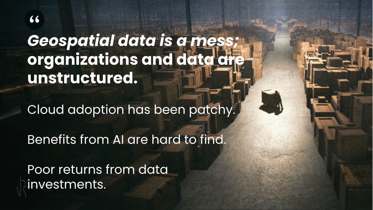
But there is a problem. Data is a mess, not just yours, but everybody’s. And there is an enormous amount of it. The idea of a data lake was really an excuse not to tidy up our virtual bedrooms (as it were). Like so many implementations of agile software development, which were just excuses not to manage software at all.

This problem is exacerbated by the sheer volume of data our community manages.

I would argue that the EO community has been trying to suck an ocean of pixels through a straw.

But the solutions are at hand. The complementary assets of Modern Geospatial (complementary as in helpful, not as in adoring) have given us the tools to succeed.

Thinking about these assets in terms of AI brings us to data as a critical, value-creating tool. Over time, data accrues value. In terms of our brain, these are the memories, experiences, and observations which we need to build analytic or neural connections between.
AI
That’s the data, but where then does AI fit into this puzzle? As stated, we have far too many pixels for humans to look at. So we will need AI there. But also, AI can create maps. Not necessarily good maps, but they will get much better. To ensure quality and geographic consistency, we should probably be building componentry that AI can assemble, because AI is an incredible GLUE.

By using AI to assemble ad hoc interfaces from authoritative components, it is possible to ensure algorithmic consistency while still enabling an accelerated future. These interfaces need not last longer than the 30 minutes it takes to make a decision. Disposable UIs.
In this manner, we might even be able to serve that geospatial horizontal. Broadening the geospatial market from experts to everyone else. The Venn of geospatial people has always influenced our market, and reducing technical barriers to bring geographic thinking to more people is hugely compelling.

Canadian Economics
So we have the strategic and technology components, but how should we think about the economic view? Hobbes’s Leviathan, taken to the extreme, is a fearsome creature. As is any system in fundamentalist form.
I think it’s fair to say that innovation happens with greater urgency outside the confines of bureaucracy, and society should be allowed to choose when urgency matters. Perhaps in the last 3 decades, we saw “the demise of history,” and urgency diminished.
But much to Fukuyama’s frustration, I expect, it seems like “history is back, baby.”
We have geopolitical, climate, and economic urgencies. With this in mind, my suggestion is that the private sector should engage. Likewise, we need our government partners to build relationships with the private sector, rather than empires. I have a deeply biased opinion that small businesses can save Canada. Small businesses can build technology and sell it to numerous customers, but technology developed within government institutions is built for a specific purpose and becomes a bureaucratic liability. And I mean that in the accounting sense of the word. There is a balance sheet of technology. Technology built in the private sector is an investment; technology built in government is a liability.

An investment implies that it can be used for more than one thing and sold to more than one customer. Technology built within government, whilst exciting and potentially specific, must be maintained, hence a balance sheet liability.
The European Space Agency has this all figured out; they are largely a strategy-and-contracting organization. I believe this was part of the Government of Canada’s strategy in its greater investment in ESA.
We achieve greater scientific and technological connectivity to Europe, which is, without a doubt, beneficial.
To circumvent the notoriously labyrinthine Canadian procurement processes while still reaping the benefits of the geo-return policy. Hence, investing in the Canadian space sector, but using ESA's sophisticated and simple procurement vehicles.
Seems pretty smart to be honest.
But we could also do this. Open tenders are possible. The S/TBips systems are supposed to speed things up, but I see no evidence of speed, just a notional convenience which precludes anyone but the old-boy network from engaging. It feels like my observations here align with the “Build, Partner, Buy” approach outlined by our current leaders. But I note that policy execution typically lags behind policy announcement.

So, should Governments be the responsible custodians of data, protected at all costs, carefully shared? This final statement is a central tenet of cloud-native technology. Data should not be moved; instead, access to it should be granted to an authorized user or application.
Feature-level authorization.
Then, Sovereign AI?
We have seen the strategic argument for understanding AI within the context of a Nation’s character, and in particular, Canada. We have seen the timing argument for technology. I have suggested that governments are well-positioned to be responsible custodians of data but poorly positioned to take the risk on developing and maintaining innovative technology.
In these complicated times, understanding geography is a strategic advantage that can help us succeed.

4 take-away thoughts:
SovereignAI must be geographic, geography beyond infrastructure.
Investing in data is like buying a house
Protect our data at all costs; share carefully.
Small businesses will save Canada if Canada lets them.
So, again, here we are, in Canada.