
Capabilities * Capacity = Execution
But also equity

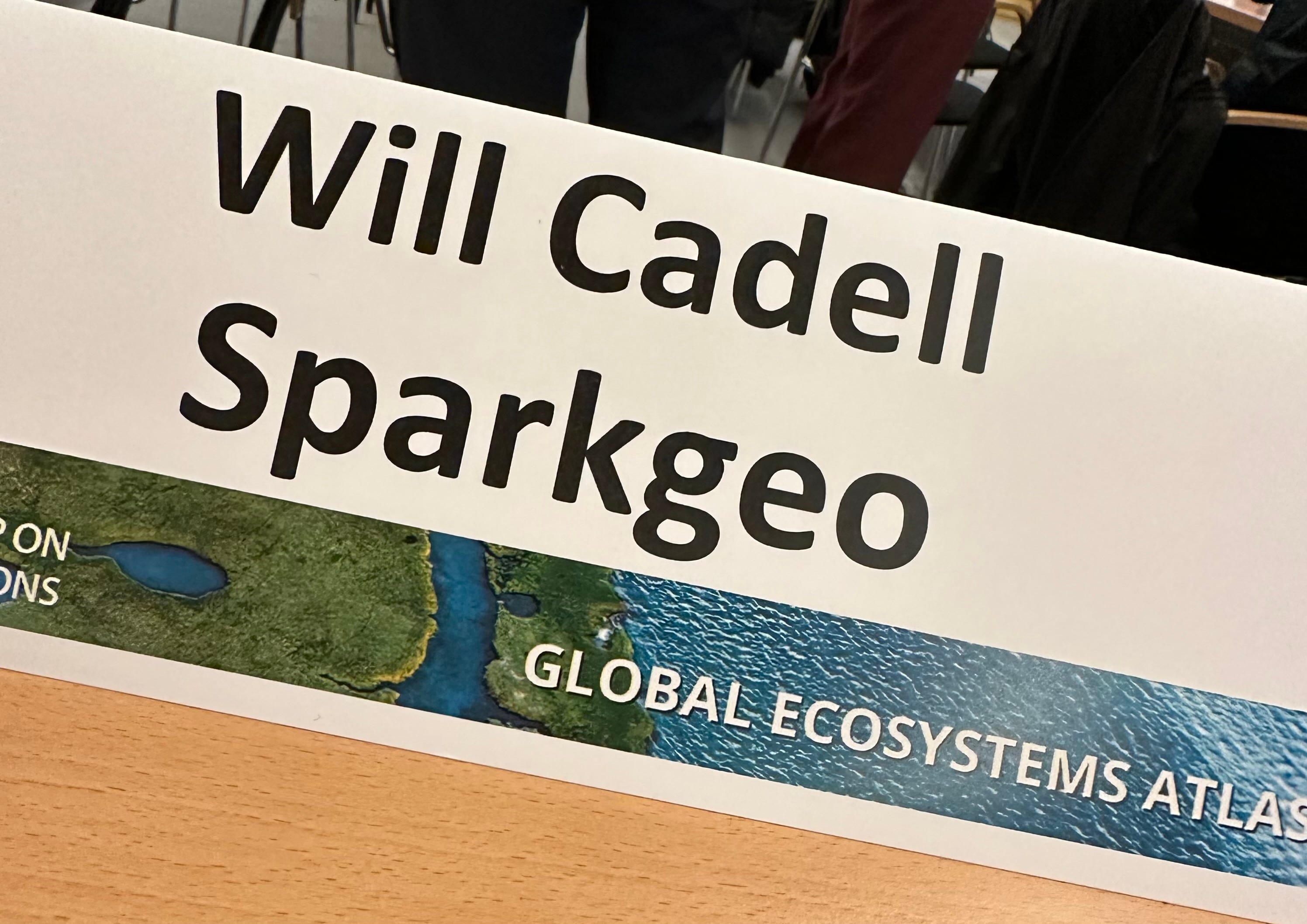
This is a simple equation and is likely obvious to many of you. But, it only became clear to me while attending the Group on Earth Observations' (GEO) first convening meeting of the Global Ecosystem Atlas (GEA) project this week in Geneva.
The GEA meeting was attended by numerous conservation non-profits, International bodies, a few National representatives, and a handful of Earth observation and geospatial technology people. A heady mix for those interested in the various human and technical challenges of assembling an atlas of all of Earth's critical habitats.
I was lucky enough to attend because of Sparkgeo's work on the MERMAID project. MERMAID provides a platform for marine scientists to capture and share critical in-situ coral health data. More importantly, the Wildlife Conservation Society (WCS) scientists who run this project have been empowering local communities with the skills and technology to monitor their own local reefs. The critical work WCS undertook with these communities is the capacity part of the equation, which enables MERMAID to develop as a global platform.
I was asked to speak on a panel about technology and platform. I was making my typical observations on modern geospatial being a new market opportunity when it was pointed out that capacity and capabilities should be considered within the same context and in parallel. Often the most obvious things can be entirely hidden until a new person with different perspectives engages in a discussion. In this case, Corli Pretorius from the UN Environment Programme World Conservation Monitoring Centre (UNEP-WCMC), who was moderating the panel, saw the linkage immediately.
As a technologist, I tend to over-focus on capability. While I develop capacity in my own team, it is not something I have been forced to consider more broadly. Indeed, if you read my posts on the development of modern geospatial and the growth of complementary assets, you will see my continued emphasis on new capabilities. While this is an important concept, if we are to further think about data equity, capacity is an essential component. But, on reflection, I would also argue that capacity is also largely missing in the future consumers of modern geospatial technology. The very nature of these new capabilities means that capacity must be built into the delivery mechanism. This is especially true in communities that may not have previously been exposed to the geospatial opportunity.
So in this equation, the E is as much for Equity as it is for Execution.
Capacity gaps across communities
I have often talked about the geospatial market missing a critical element. I have described this in terms of geospatial companies and individuals not describing ourselves well. I have joked about analysts still having to make the "What is GIS?" presentation, as they have done for the last 30 years. Geographic Information Systems (GIS) and now what I call modern geospatial are not concepts firmly understood in most boardrooms.
While the traditional consumers of geospatial technology (defence, intelligence, resources, for example) come with built-in geospatial and GIS teams, most newcomers to digital and connected geography do not. Without that intrinsic knowledge, any product development or marketing becomes much more nuanced.
With this pattern in mind, it is not a stretch to suggest that there is as much capacity to build in the enterprise and commercial markets. Capacity to understand and use geography in the execution and optimization of day-to-day tasks. Lack of capacity, therefore, is as much a problem in the air-conditioned offices of Fortune 500 C-suites as it is in disadvantaged ocean or forest communities.
Getting the math right
Initially, I wrote the C*C=E equation as an addition. But, on reflection, I decided that capabilities are nothing without a human ability to consume or understand their inputs or outputs. This equation, therefore, must be multiplicative. Indeed, people with few technical capabilities can do an enormous amount if they have good capacity. Humans are nothing if not resourceful. Again, I remind myself not to over-focus on capabilities.
This is also an argument for openness: source, data, and standards. In particular, open-source technology. I am reminded of Todd Barr's incisive pinned tweet:
“My favorite thing about all #FOSS Software is that a brilliant kid will never be held back because of the price of entry. Over the past couple of years and as I work more with students, this democratization trait has became the most important thing for me. #nogatekeepers”
This is equally true with disadvantaged communities as with disadvantaged kids. Building a community around open software allows that software to enrich numerous lives with numerous purposes, reducing the cost to execute and reducing the equity imbalance. But again, this is also true of newcomers to modern geospatial technology: inexpensive proofs of concept are much more easily iterated over.
The theme of this discussion is capacity building. As a reader, I do not want you to assume that capacity building is limited to work done in remote communities in sensitive ecosystems; it also happens across corporate society, especially as technology advances so fast.
Sure, we might call it something different, but the math remains the same: without capacity, new capabilities equal zero.